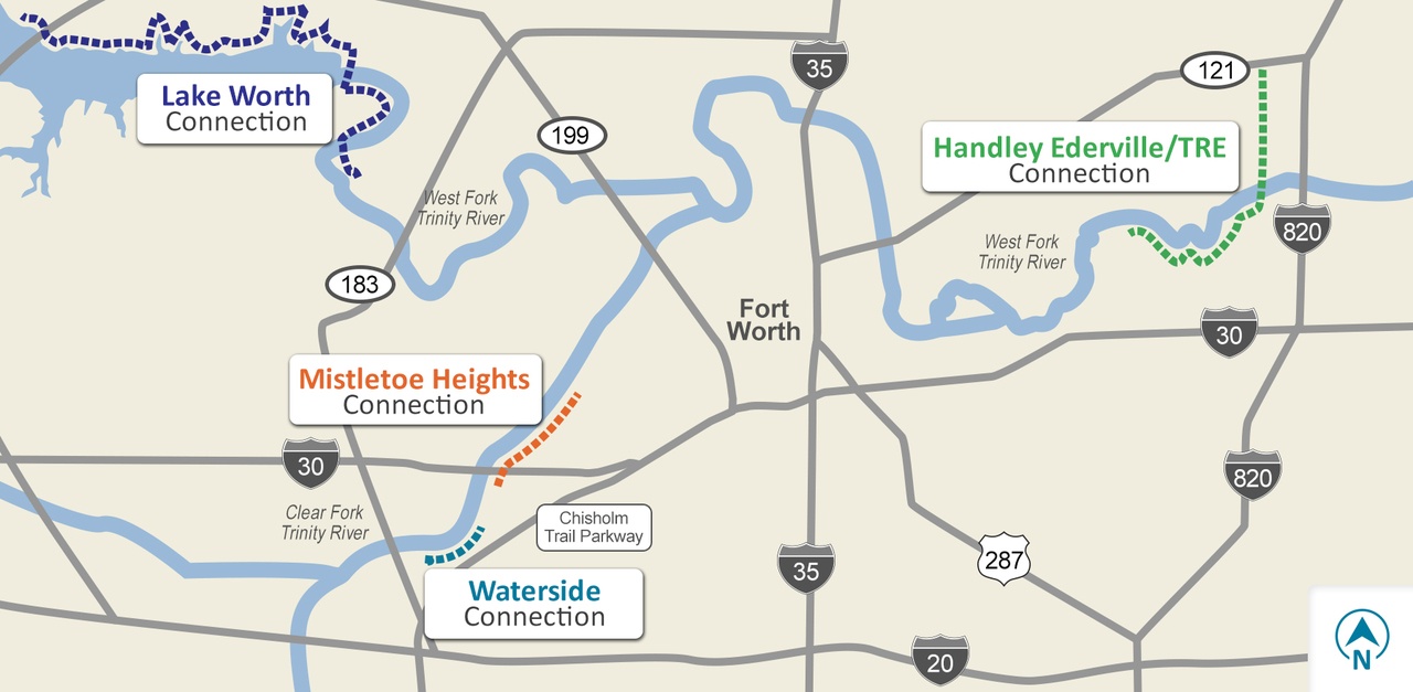
As Fort Worth continues to grow, TRWD knows it’s important to expand the Trinity Trails system to meet the population’s needs. Valuable community partners help allow for our trail…
As Fort Worth continues to grow, TRWD knows it’s important to expand the Trinity Trails system to meet the population’s needs. Valuable community partners help allow for our trail…
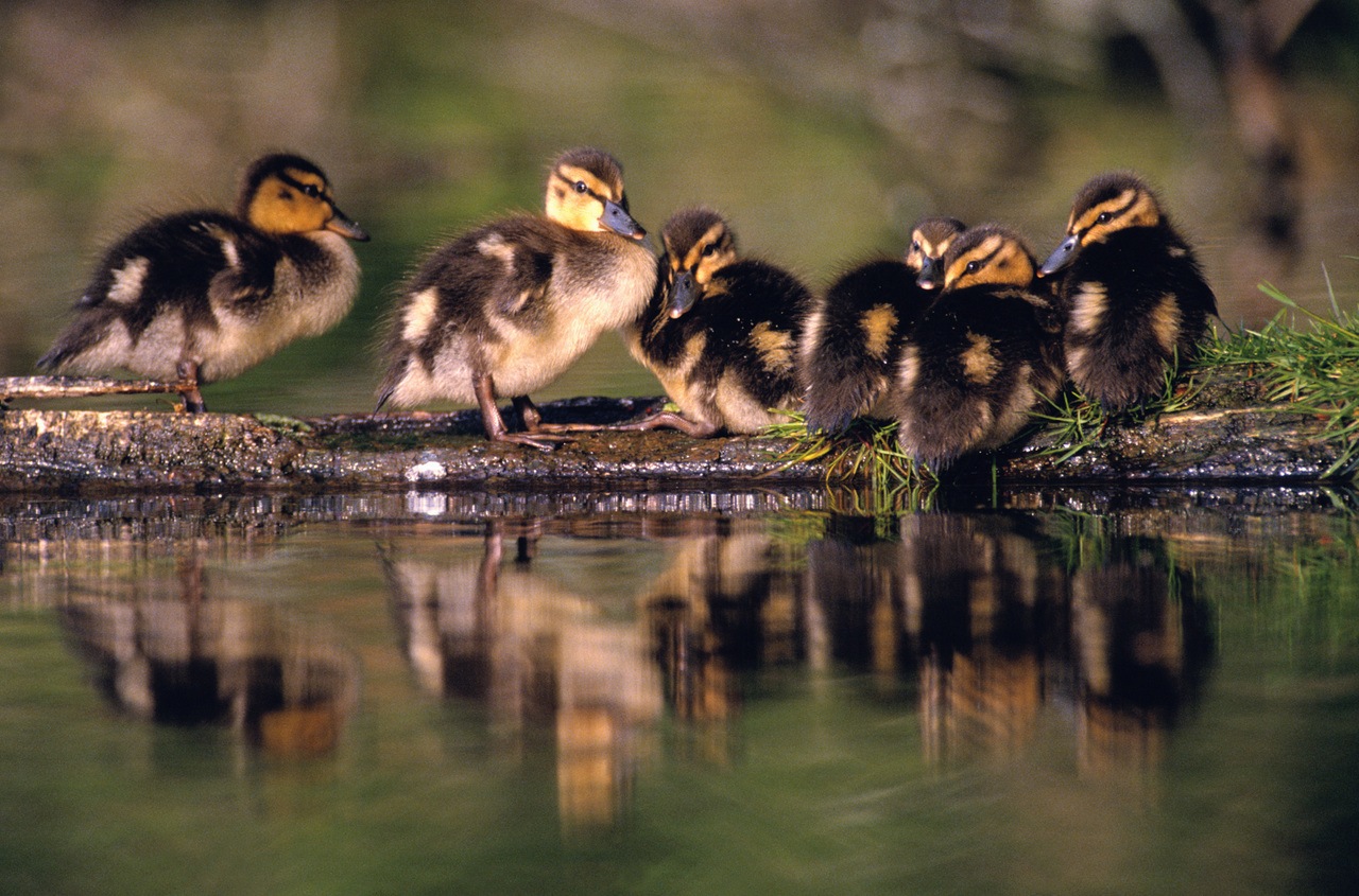
Did you know that TRWD’s George W. Shannon Wetlands are home to Texas Parks and Wildlife’s Richland Creek Wildlife Management Area (WMA). Richland Creek WMA is home to some of…
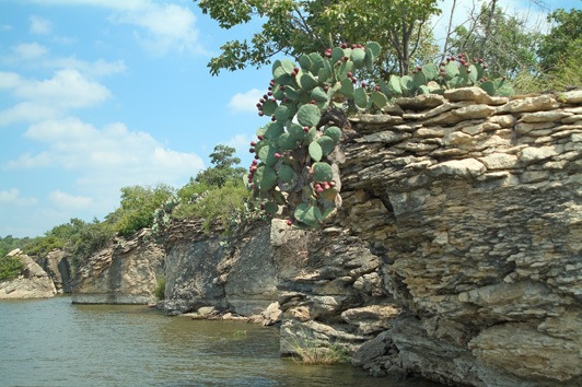
Beautiful Lake Bridgeport is located in is located in Wise and Jack Counties, upstream from Eagle Mountain Lake on the West Fork of the Trinity River. It has a unique rocky coastline,…

Year(s) Constructed: 1961-1965 Count(ies): Henderson and Kaufman Conservation Pool: 322.00 100 Year Flood Elevation: 323.50 Length (miles): 18 Width (miles): 8.5 Shoreline (miles): 220.26 Maximum Depth (ft): 70.6 Maximum Flood Elevation:…
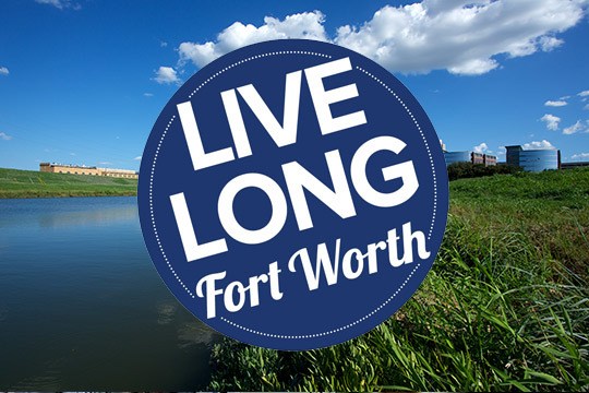
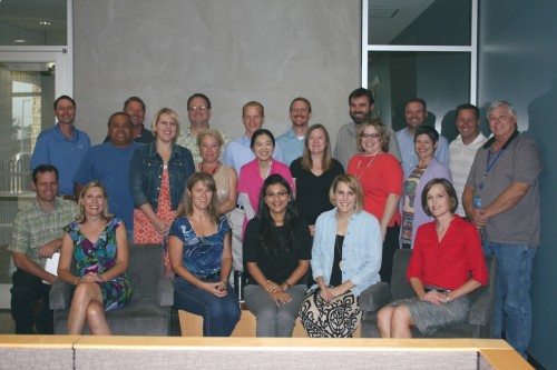
After recently completing its Blue Zones Project Worksite Pledge, the Tarrant Regional Water District (TRWD) in Fort Worth has been named a Blue Zones Project Approved™ Worksite. TRWD is proud…
TRWD has been named the 2014 recipient of the Association of Dam Safety Officials (ASDSO) National Rehabilitation Project of the Year Award. The district is being recognized for its rehabilitation…
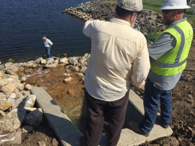
People don’t think about dams needing maintenance, but a lot can happen to those solid structures as temperatures, humidity and water levels increase and decrease. Staying ahead of any potential…
Record rains in 2015 have nearly pushed TRWD’s reservoirs to their limits three times during the last six months. Managing those rapidly rising flood waters in and around our…
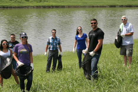
Love the Trinity River as much as we do? Help us take care of one of Fort Worth’s greatest attractions by becoming a Riverkeeper through TRWD’s Adopt-A-River Program. The Tarrant…
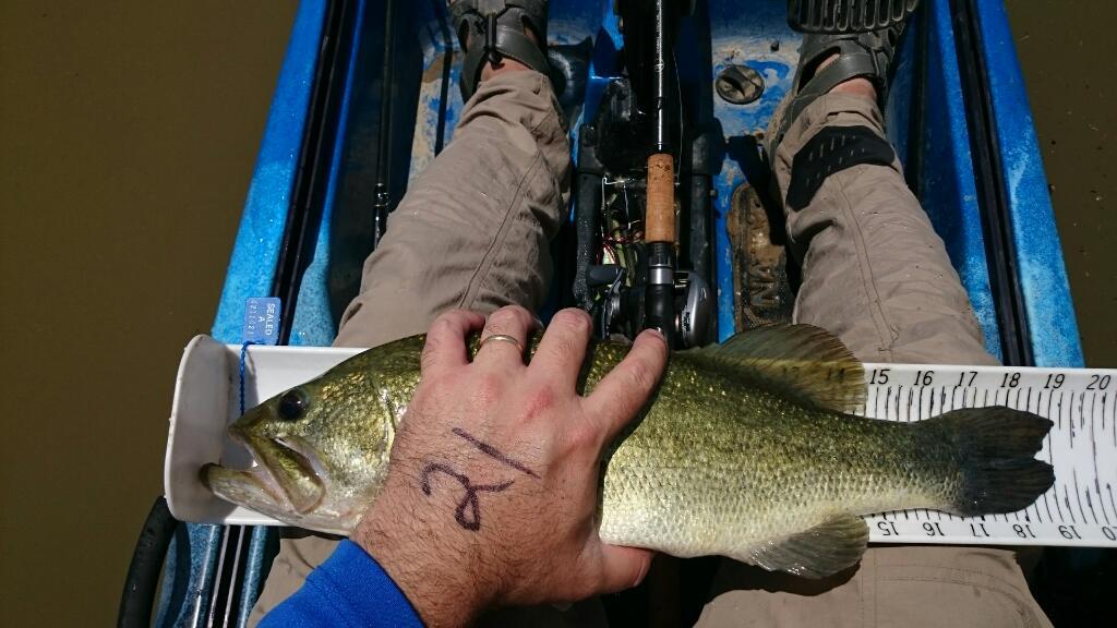
This summer, a group of local fishermen joined together to create a friendly fishing tournament on the Trinity River in Fort Worth. The Trinity Bass Battle started as a small…
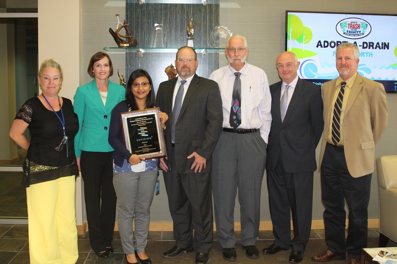
The Integrated Pipeline Project (IPL), a 150-mile long water transmission system being built by two North Texas water suppliers, has received the Institute for Sustainable Infrastructure’s (ISI) Envision Platinum Award….
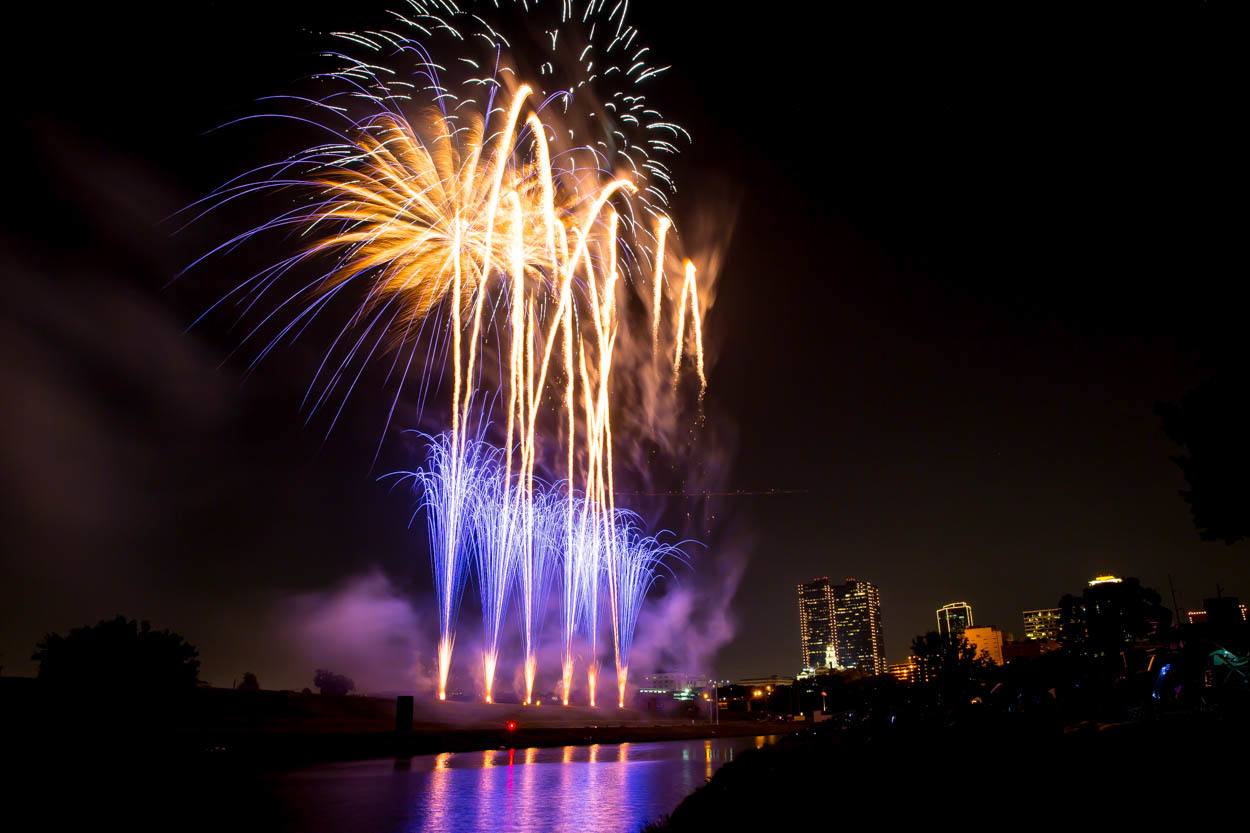
Make plans now to celebrate our nation’s independence on and along the Trinity River at Fort Worth’s Fourth! The family-friendly festival will take place July 4 at Panther Island Pavilion….
We had so much fun celebrating the grand opening on Twin Points Park at Eagle Mountain Lake Memorial Day Weekend. Thanks to everyone who came out and enjoyed the new…
Join us Memorial Day weekend as we celebrate the opening of Twin Points Park at Eagle Mountain Lake. Opening weekend will include a ribbon cutting ceremony on Saturday, May 28…
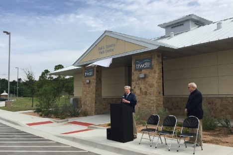
On Saturday, May 14, 2016, TRWD recognized Hal S. Sparks III for his 25 years of service to TRWD and contributions at Eagle Mountain Lake. The new park center at…
© 2026 Tarrant Regional Water District