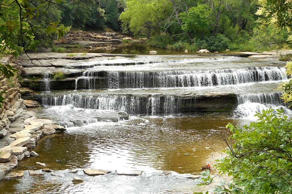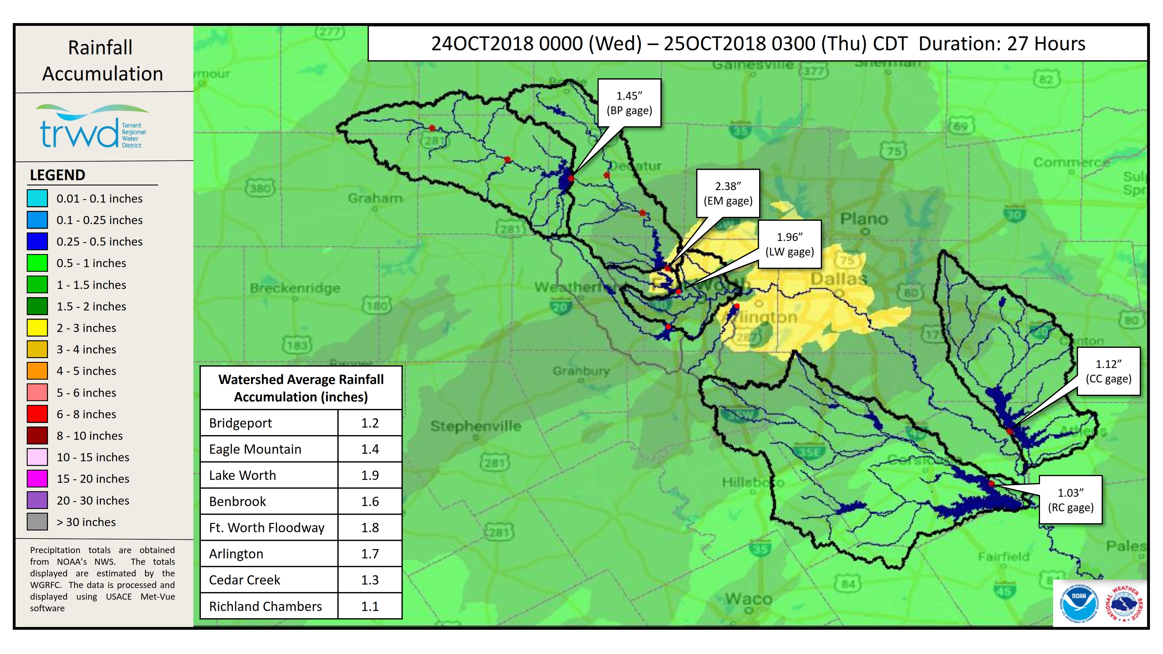
TRWD staff continues to monitor conditions in the TRWD reservoir watersheds 24 hours a day. Approximately 1-2″ of rain has fallen in the TRWD watersheds in the last 12 hours. The National Weather Service (NWS) forecasts indicate that rain will taper off from west to east overnight tonight. Eagle Mountain has responded to this rainfall, and has begun slowly rising. Releases from Eagle Mountain are continuing. Bridgeport is still on the rise and not expected to fill at this time. Richland-Chambers and Cedar Creek have remained relatively constant today, but are beginning to see the rainfall seen in the upper TRWD watersheds earlier today. Releases will continue to be made from these reservoirs.
Please note that reservoir projections are barring additional rainfall and subject to change. TRWD reservoir operations are based on observed rainfall conditions. Additional updates will be provided here if conditions dictate. Please check back.
Also please note that the reservoir levels shown on the TRWD homepage are not current due to technical issues. Current levels for each reservoir can be found by clicking on the individual reservoir names, which will take you directly to the USGS site.
The latest update of reservoir conditions follows:
Lake Bridgeport
- Current reservoir elevation: 834.38 ft-msl.
- Conservation level elevation: 836.00 ft-msl.
- Change in past 24 hours: +0.24 ft.
- Current discharge is 0 cfs.
Eagle Mountain Lake
- Current reservoir elevation: 649.57 ft-msl.
- Conservation level elevation: 649.10 ft-msl.
- Change in past 24 hours:+0.29
- Current discharge is 375 cfs.
Lake Worth (owned and operated by the City of Fort Worth)
- Current reservoir elevation: 594.53 ft-msl.
- Conservation level elevation: 594.00 ft-msl.
- Change in past 24 hours: +.09 ft.
- Current discharge is 1,140 cfs.
- See City of Fort Worth news feed for updates on lake.
Cedar Creek
- Current reservoir elevation: 322.12 ft-msl.
- Conservation level elevation: 322.00 ft-msl.
- Change in past 24 hours: 0.00 ft.
- Current discharge is 890 cfs.
Richland-Chambers
- Current reservoir elevation: 315.61 ft-msl.
- Conservation level elevation: 315.00 ft-msl.
- Change in past 24 hours: -0.02 ft.
- Current discharge is 5,630 cfs.
Please call the Flood Hotline for further information.
817-720-4296.
If prompted to leave a message, the flood monitor on duty will return your call within 30 minutes.
*ft-msl – feet above mean sea level; cfs – cubic feet per second
Post based on conditions as of October 24, 2018, at 7:00 PM