NewsUpstream Downstream

Online Tool Puts TRWD Watersheds at Your Fingertips

By August 23, 2022

Did you know TRWD has an online tool to help you monitor local water conditions in real time?

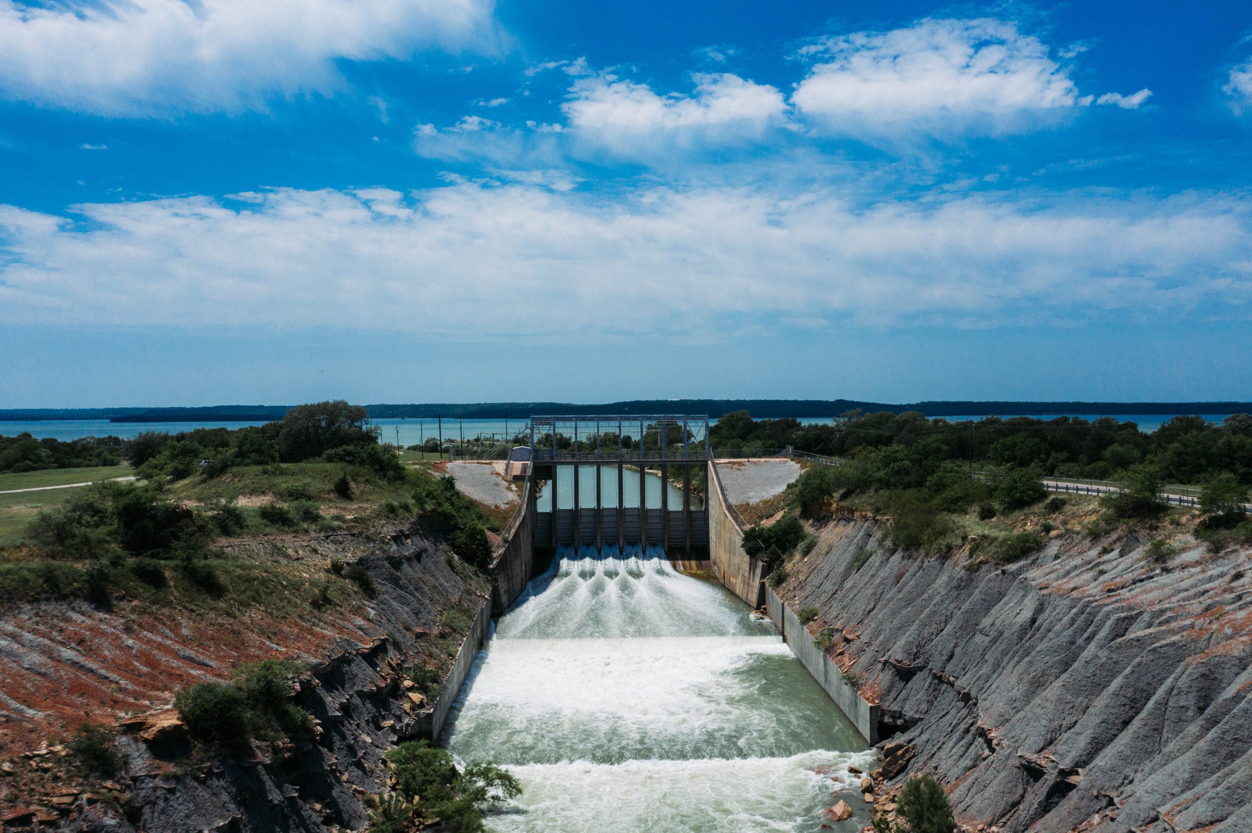
It uses environmental monitoring software to keep track of rainfall and stream flow and its impact on TRWD reservoirs.

The program is called OneRain. And it keeps track of water data recorded by a variety of weather networks and centralizes it in one database.

It’s a real time data collection network that delivers critical information on flood conditions and lake levels when you need it.

We encourage you to check it out at: TRWD OneRain website.

Lake Current Level Conservation Level* Level Difference**
Arlington 552.19 550.00 2.19
Benbrook 694.87 694.00 0.87
Bridgeport 838.16 836.00 2.16
Cedar Creek 322.30 322.00 0.30
Eagle Mountain 647.49 649.10 -1.61
Lake Worth 592.29 594.00 -1.71
Richland-Chambers 315.88 315.00 0.88

Want to add Lake Levels to your home screen? Click here to learn how

*Conservation Level: The permitted level of water an entity is allowed to hold in a lake. Any amount above the conservation level is used for the temporary storage of flood waters and must be released downstream.

**Difference: Amount above or below conservation level.

Stay connected with TRWD!

Sign up for our newsletter!

Newsletter Sign Up