Uncategorized

TRWD’s Trinity Trails: By the Numbers

By March 30, 2016
TRWD Sign

Trinity Trails Map Sign

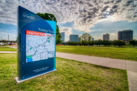
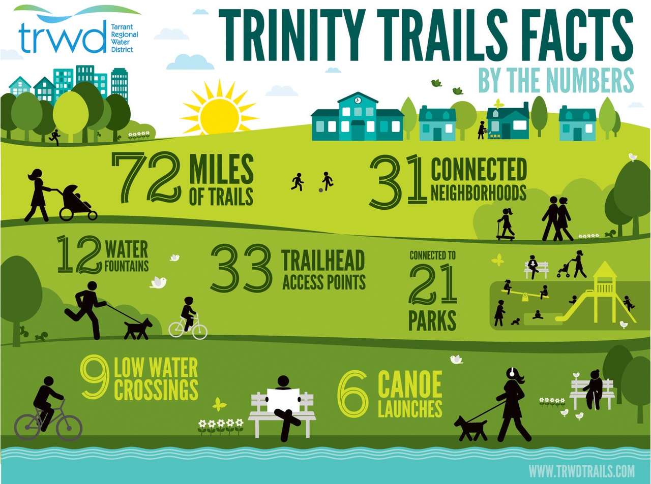
TRWD is in the middle of a user-requested 90-project trail improvement program. With help from the City of Fort Worth and Streams & Valleys, Inc., these trail improvements will impact communities throughout the entire city.

Trinity Trails Infographic

Lake Current Level Conservation Level* Level Difference**
Arlington 548.59 550.00 -1.41
Benbrook 693.98 694.00 -0.02
Bridgeport 835.96 836.00 -0.04
Cedar Creek 321.92 322.00 -0.08
Eagle Mountain 649.31 649.10 0.21
Lake Worth 593.94 594.00 -0.06
Richland-Chambers 315.13 315.00 0.13

Want to add Lake Levels to your home screen? Click here to learn how

*Conservation Level: The permitted level of water an entity is allowed to hold in a lake. Any amount above the conservation level is used for the temporary storage of flood waters and must be released downstream.

**Difference: Amount above or below conservation level.

Stay connected with TRWD!

Sign up for our newsletter!

Newsletter Sign Up