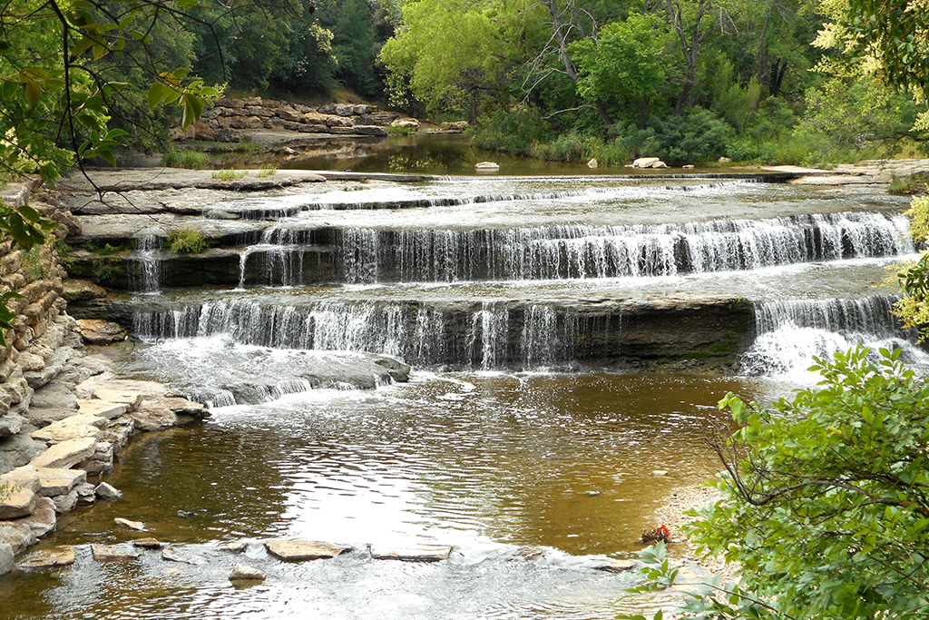
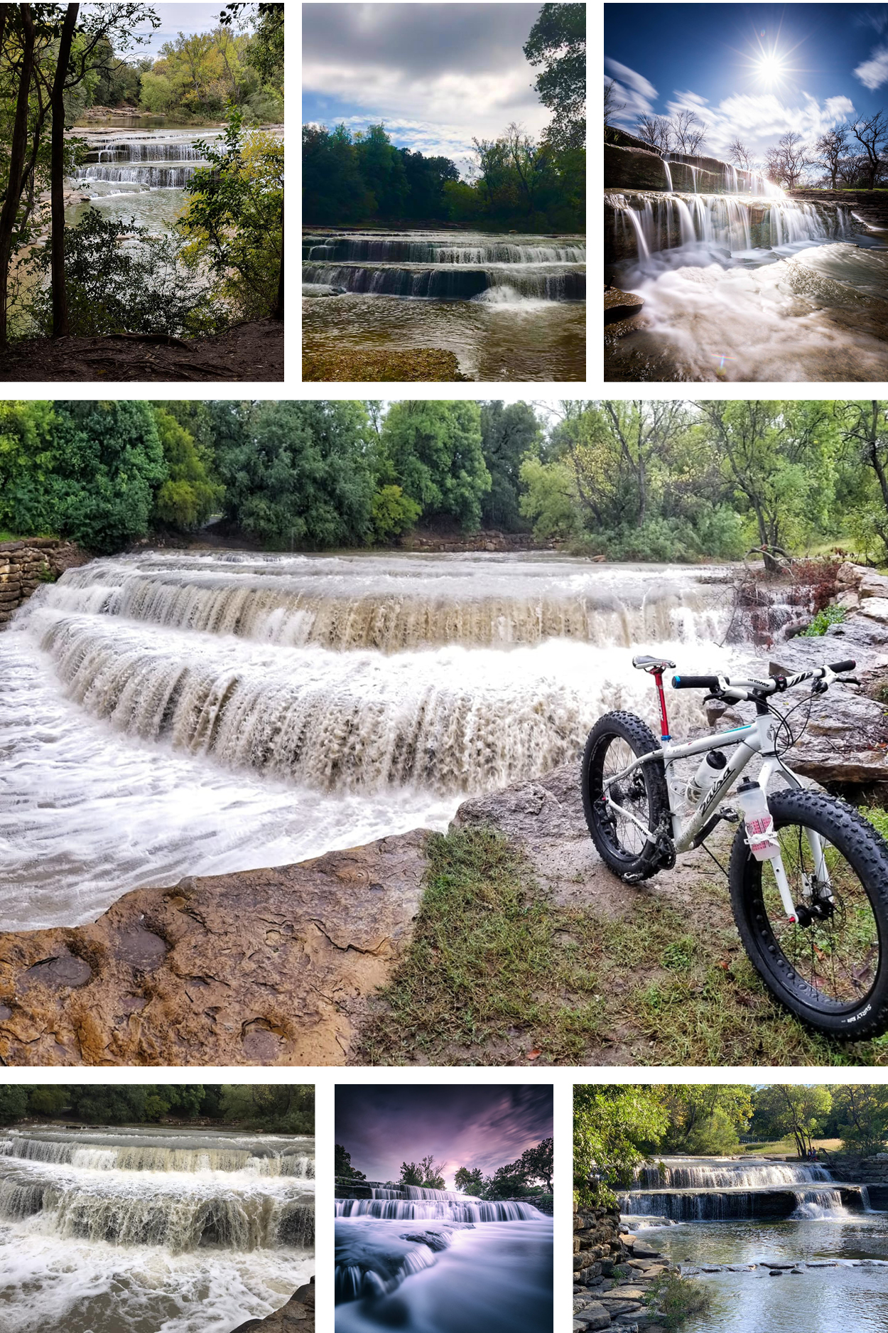
Photos were taken by the following Trinity Trail users. Top left to right: Jessica Oxley, Stephen M. Tuckier, Joseph Dalcour; Center: Tony Shiflet; Bottom left to right: Karen Pitao Pistey, Joseph Dalcour, Ellen Cleveland Williams
Airfield Falls Trailhead & Conservation Park
200 Pumphrey Dr, Fort Worth, TX 76114 Grand Opening Video
*Conservation Level: The permitted level of water an entity is allowed to hold in a lake. Any amount above the conservation level is used for the temporary storage of flood waters and must be released downstream.
**Difference: Amount above or below conservation level.