If you are looking for real-time lake level information at all four of TRWD’s lakes, we have a one-stop option for you.
TRWD’s OneRain platform is easy to navigate and provides users visual dashboards and maps that are easy to understand and keep residents informed about current lake conditions. The link to the site can be found at https://trwd.onerain.com.
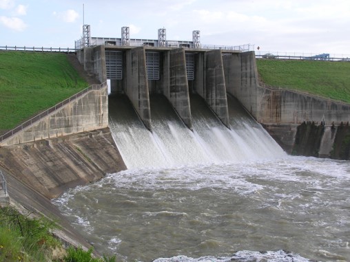
“This tool helps the public stay informed about changing water conditions, especially during heavy rain or potential flooding,” said Craig Ottman, TRWD’s Hydrologic & Hydraulic Manager. “By sharing data from more than 140 monitoring sites, we provide transparency and empower residents to make safer decisions, whether that’s planning travel, protecting property, or simply understanding what’s happening in their community.”
In addition, the platform has numerous dashboards that are easy to use and offers personalized alerts that notify you when conditions are changing. TRWD also provides a Lake Level Blog and Daily Reports that can be found in the top right of our website under the lake levels link.