Big changes are coming to TRWD’s Geocaching Program—and they’re designed with you in mind.
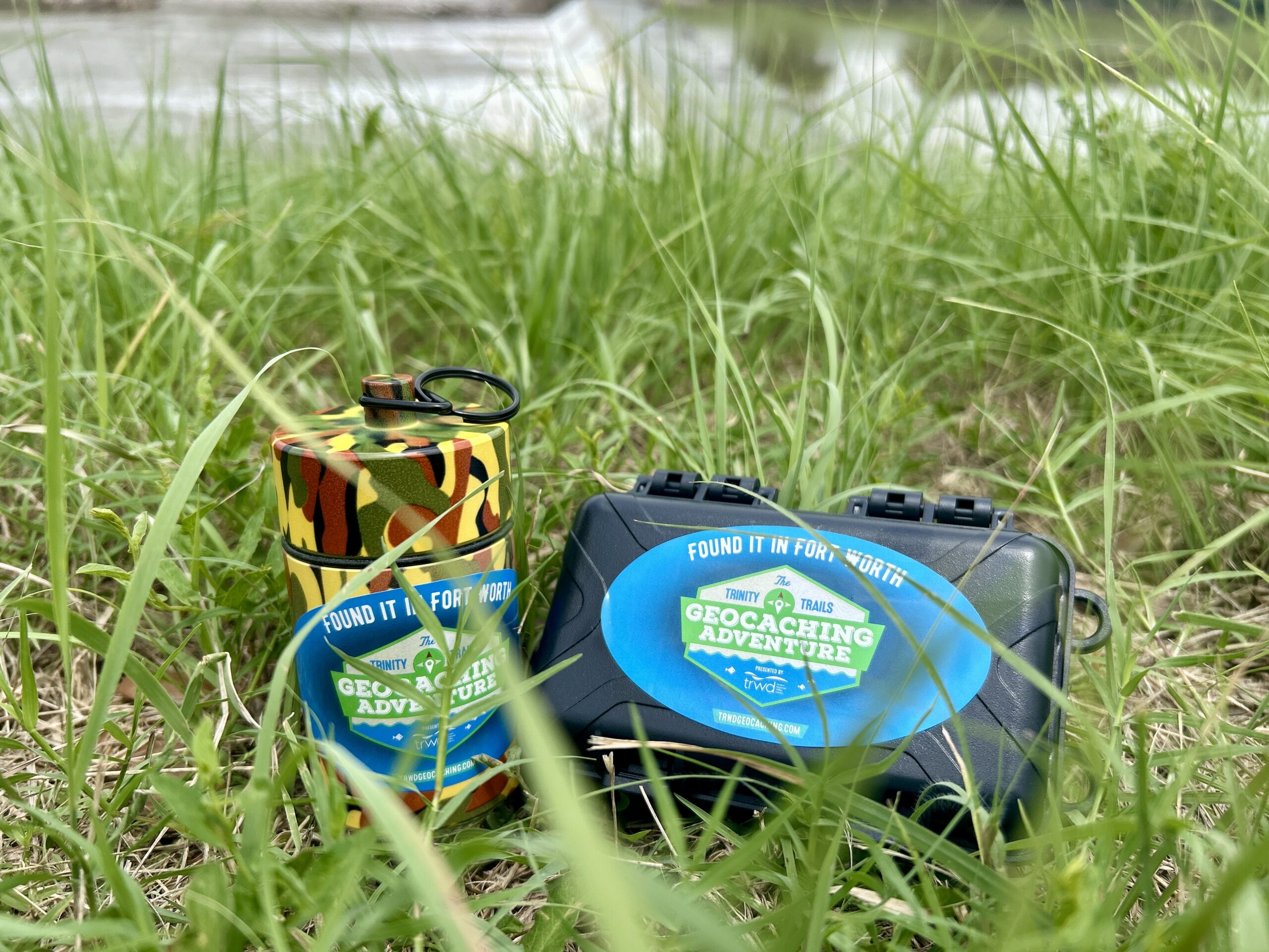
We at TRWD are upgrading our original geocache containers with new versions that can better weather the elements and provide safe-keeping of the logbooks, as well as more security features such as magnets and steel tethers. Additional upgrades will include pencils with sharpeners, a trail-themed trinket, and custom stickers featuring each cache’s Challenge Passport question and QR code.
The District is also adding four additional geocache locations along the Trinity River in Fort Worth, three at Marine Creek Lake in northwest Tarrant County, and four in Eagle Mountain Park on the northeast side of Eagle Mountain Lake.
All new locations and containers will become fully available by this fall when temperatures drop so you can get the most out of your new-look geocaching experience.
To learn more about the revamped TRWD’s Geocaching Adventure, please visit our website at www.trwdgeocaching.com