By: Sally Crocker
New safety measures and rules will soon be coming to the busy Trinity Trail System in Fort Worth.
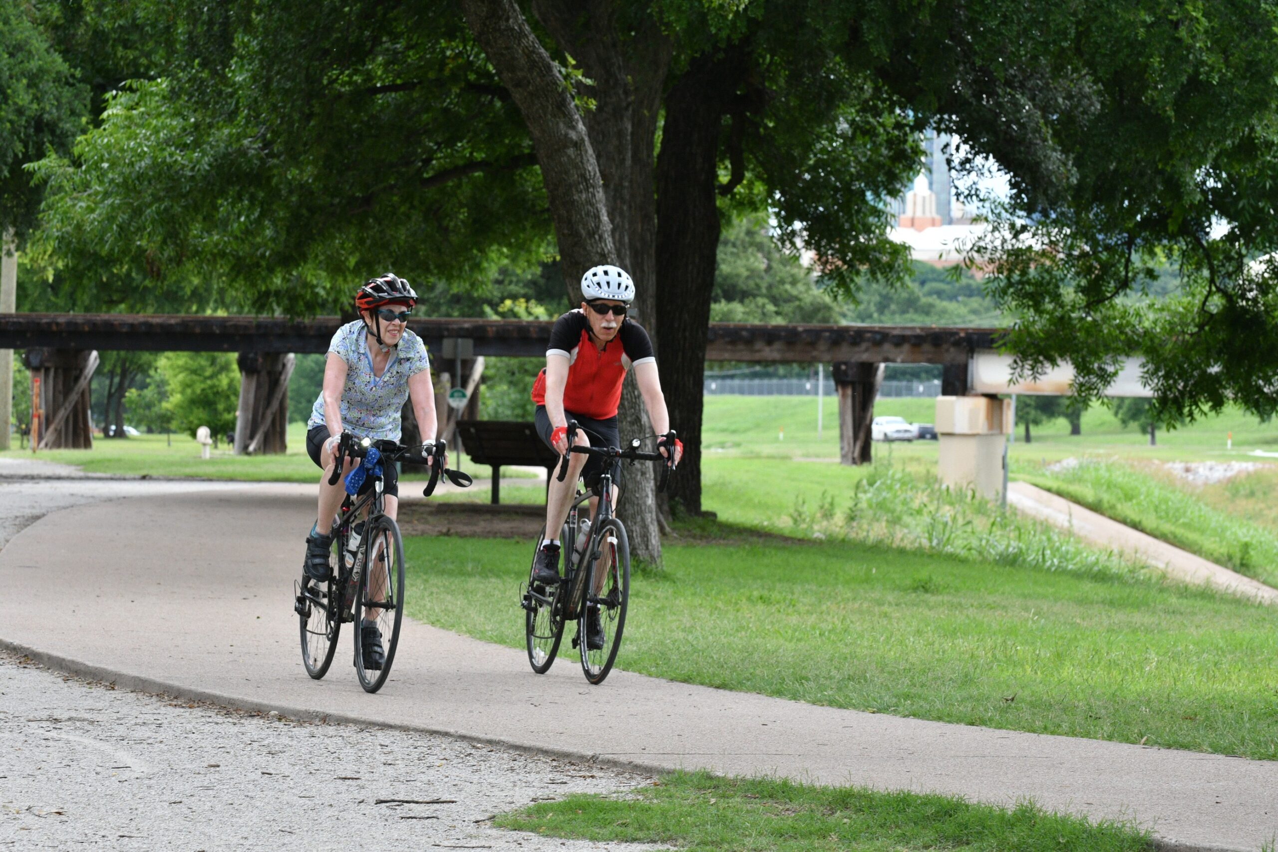
TRWD’s new trail standards outline rules and etiquette guidelines for the 100-mile system, which has become increasingly crowded in the past few years.
“The trails have become a popular destination for recreational use,” said Lexi McCalip, the District’s Director of Floodway and Construction. “It’s just reminding people of etiquette and safety for themselves and others.”
New signage, striping and speed limit signs are part of the $200,000 effort approved by TRWD’s Board of Directors earlier this year.
Improving safety along the Trinity Trails was a major emphasis in the District’s Recreational Master Plan adopted by the Board of Directors late last year.
TRWD oversees more than 2,000 acres along the Trinity River that runs through 31 neighborhoods and 21 city parks.
Usage of the Trinity Trails has gone up dramatically as the area’s population has increased and development along the Trinity River has blossomed.
District data suggests that about 1 million trail users – pedestrians and cyclists – use the trails every year. The numbers particularly began to rise during the Covid epidemic, when people wanted to be outside instead of being cooped up inside somewhere, McCalip said.
“We are seeing a mix of trail users. You have walkers, runners, bikers, moms with strollers and workout groups that have moved out onto the trails,” McCalip said.
Trail use has also climbed because of new housing and business developments along the Trinity River.
Proposed signage will include rules and etiquette, speed, caution, hazard, yielding and equestrian-specific signage. Striping elements will include center stripe – solid and dashed – enhancements for slow/safe zones in congested areas, and edge striping near hazards.
The District has already constructed some rumble strips and speed limit signs to make people aware of those congested areas.